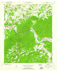
1940 Map of Neddy Mountain
USGS Topo · Published 1960About this map
Click Mill stands as a notable landmark along Big Creek in this 1940 survey of the Cocke County highlands. The landscape is defined by the winding course of the French Broad River, which serves as a corridor for the Southern railroad and connects small riverfront communities like Del Rio, Bridgeport, and Baltimore. Much of the southern terrain is protected within the Cherokee National Forest, where steep ridges like Neddy Mountain and Stone Mountain rise above narrow hollows.
Find a feature on this map
54 named features on this map. Tap any name to fly to it.
Don’t see what you’re looking for? This feature index may not catch every label — zoom into the map to look around manually.
Map Details
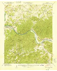
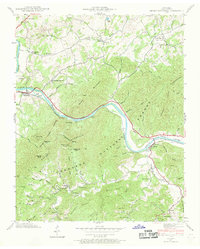
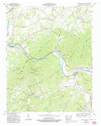
Editions of this 1940 Neddy Mountain Map
4 editions found
Other maps of this area

1883 · Morristown
USGS Topo · 1:125,000

1892 · Greeneville
USGS Topo · 1:125,000

1893 · Mt Guyot
USGS Topo · 1:125,000

1893 · Morristown
USGS Topo · 1:125,000

1894 · Asheville
USGS Topo · 1:125,000

1895 · Morristown
USGS Topo · 1:125,000

1896 · Greeneville
USGS Topo · 1:125,000

1901 · Asheville
USGS Topo · 1:125,000

1904 · Greeneville
USGS Topo · 1:125,000

1912 · Mt Guyot
USGS Topo · 1:125,000