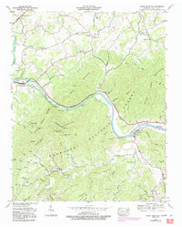
1940 Map of Neddy Mountain
USGS Topo · Published 1991About this map
The French Broad River carves a deep path through the eastern Tennessee mountains, serving as the central artery for a landscape defined by sharp ridges and isolated hollows. During this 1940 field check, the river's course past Huff Island and Bridgeport supported small riverside communities like Del Rio, where a post office and water tank stand near the tracks. The settlement pattern is strictly dictated by the terrain, with family-named landmarks like Freshour and Baltimore occupying the limited flat ground along the northern creeks.
Find a feature on this map
66 named features on this map. Tap any name to fly to it.
Don’t see what you’re looking for? This feature index may not catch every label — zoom into the map to look around manually.
Map Details
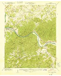
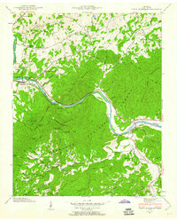
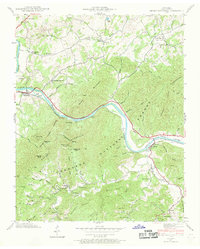
Editions of this 1940 Neddy Mountain Map
4 editions found
Other maps of this area

1883 · Morristown
USGS Topo · 1:125,000

1892 · Greeneville
USGS Topo · 1:125,000

1893 · Mt Guyot
USGS Topo · 1:125,000

1893 · Morristown
USGS Topo · 1:125,000

1894 · Asheville
USGS Topo · 1:125,000

1895 · Morristown
USGS Topo · 1:125,000

1896 · Greeneville
USGS Topo · 1:125,000

1901 · Asheville
USGS Topo · 1:125,000

1904 · Greeneville
USGS Topo · 1:125,000

1912 · Mt Guyot
USGS Topo · 1:125,000