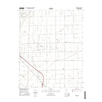
2017 Map of Needham
USGS Topo · Published 2017About this map
Needham and the surrounding townships of t14n r4e and t14n r5e are defined by a strictly surveyed grid of county roads that navigate the lowland drainage patterns of Craighead County. This modern study documents the expansion of Phillips and the southern settlement of Bay, while highlighting localized infrastructure like the Classic Airstrip. The landscape is heavily influenced by hydrological management, seen in the channelization of Big Bay Ditch and the meandering paths of Bridger Cr, Murray Cr, and Whiteman Cr.
Find a feature on this map
96 named features on this map. Tap any name to fly to it.
Don’t see what you’re looking for? This feature index may not catch every label — zoom into the map to look around manually.
Map Details
Editions of this 2017 Needham Map
This is the sole edition of this map. No revisions or reprints were ever made.
Other maps of this area

1939 · Jonesboro
USGS Topo · 1:62,500

1940 · Dee
USGS Topo · 1:62,500

1941 · Leachville
USGS Topo · 1:62,500

1941 · Marked Tree
USGS Topo · 1:62,500

1953 · Memphis
USGS Topo · 1:250,000

1956 · Leachville
USGS Topo · 1:62,500

1956 · Marked Tree
USGS Topo · 1:62,500

1956 · Memphis
USGS Topo · 1:250,000

1958 · Dee
USGS Topo · 1:62,500

1958 · Jonesboro
USGS Topo · 1:62,500