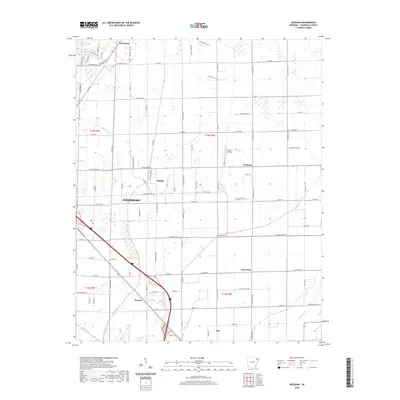
2020 Map of Needham
USGS Topo · Published 2020About this map
Jonesboro expands across the western edge of this 2020 landscape, where the urban grid begins to yield to the structured agricultural plains of Craighead County. The map documents the persistent layout of small rural communities and named crossroads such as Phillips, Hergett, and Gum Point that define the area's social geography between the larger hubs of Brookland and Bay. This modern survey illustrates how traditional land divisions in the northeastern corner of the state continue to shape movement and development.
Find a feature on this map
101 named features on this map. Tap any name to fly to it.
Don’t see what you’re looking for? This feature index may not catch every label — zoom into the map to look around manually.
Map Details
Editions of this 2020 Needham Map
This is the sole edition of this map. No revisions or reprints were ever made.
Other maps of this area

1939 · Jonesboro
USGS Topo · 1:62,500

1940 · Dee
USGS Topo · 1:62,500

1941 · Leachville
USGS Topo · 1:62,500

1941 · Marked Tree
USGS Topo · 1:62,500

1953 · Memphis
USGS Topo · 1:250,000

1956 · Leachville
USGS Topo · 1:62,500

1956 · Marked Tree
USGS Topo · 1:62,500

1956 · Memphis
USGS Topo · 1:250,000

1958 · Dee
USGS Topo · 1:62,500

1958 · Jonesboro
USGS Topo · 1:62,500