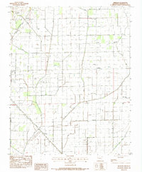
1983 Map of Needham
USGS Topo · Published 1984About this map
Agricultural drainage and heavy rail dominate this Craighead County landscape, where the Little Bay Ditch, Butler Ditch, and Maple Slough Ditch channel water through a grid of low-lying fields. The settlement pattern is defined by rural centers like Farville and Hergett, often oriented around the rail corridors of the Burlington Northern and the St Louis Southwestern Pacific.
Find a feature on this map
29 named features on this map. Tap any name to fly to it.
Don’t see what you’re looking for? This feature index may not catch every label — zoom into the map to look around manually.
Map Details
Editions of this 1983 Needham Map
This is the sole edition of this map. No revisions or reprints were ever made.
Other maps of this area
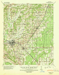
1939 · Jonesboro
USGS Topo · 1:62,500
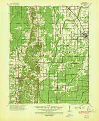
1940 · Dee
USGS Topo · 1:62,500
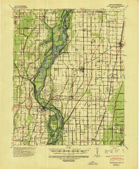
1941 · Leachville
USGS Topo · 1:62,500

1941 · Marked Tree
USGS Topo · 1:62,500

1953 · Memphis
USGS Topo · 1:250,000
1956 · Leachville
USGS Topo · 1:62,500
1956 · Marked Tree
USGS Topo · 1:62,500

1956 · Memphis
USGS Topo · 1:250,000
1958 · Dee
USGS Topo · 1:62,500
1958 · Jonesboro
USGS Topo · 1:62,500