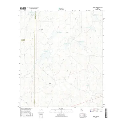
2016 Map of Needle Creek
USGS Topo · Published 2016About this map
Needle Creek winds through this expanse of the Texas Hill Country where McCulloch, Concho, and Menard counties meet. The landscape is defined by its drainage systems and water management infrastructure, most notably a series of reservoirs including Soil Conservation Service Site 14 Reservoir and Soil Conservation Service Site 15 Reservoir. These sites, part of mid-century watershed protection efforts, punctuate the terrain alongside natural features like Clements Draw and Deland Draw. The network of local infrastructure is represented by Co RD 126 and several livestock watering points such as Bee Gum Tank and Willow Tank. This map captures a sparsely populated ranching region where topography and water access dictate the patterns of land use and property boundaries.
Find a feature on this map
23 named features on this map. Tap any name to fly to it.
Don’t see what you’re looking for? This feature index may not catch every label — zoom into the map to look around manually.
Map Details
Editions of this 2016 Needle Creek Map
This is the sole edition of this map. No revisions or reprints were ever made.
Other maps of this area

1887 · Mason
USGS Topo · 1:125,000

1892 · Eden
USGS Topo · 1:125,000

1894 · Brady
USGS Topo · 1:125,000

1894 · Mason
USGS Topo · 1:125,000

1896 · Eden
USGS Topo · 1:125,000

1954 · Brownwood
USGS Topo · 1:250,000

1954 · Llano
USGS Topo · 1:250,000

1955 · Llano
USGS Topo · 1:250,000

1956 · Llano
USGS Topo · 1:250,000

1960 · West Sweden
USGS Topo · 1:24,000