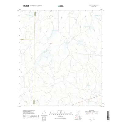
2019 Map of Needle Creek
USGS Topo · Published 2019About this map
Needle Creek winds through the rugged heart of the Texas Hill Country, where the boundaries of Concho, Menard, and McCulloch counties converge. This 2019 survey illustrates an extensively managed watershed, dominated by a series of numbered Soil Conservation Service reservoirs from Soil Conservation Service Site 10 Reservoir through Site 16. These impoundments, alongside water features like Bee Gum Tank and Willow Tank, suggest a landscape deeply tied to livestock ranching and erosion control. The terrain is defined by dry draws and creek beds such as Clements Draw, Saddle Cr, and Deland Draw, which provide vital drainage during flash floods. Transport in this rural expanse is limited to a network of county roads, including Co RD 122 and Co RD 126, which link isolated ranching properties across the tri-county line.
Find a feature on this map
24 named features on this map. Tap any name to fly to it.
Don’t see what you’re looking for? This feature index may not catch every label — zoom into the map to look around manually.
Map Details
Editions of this 2019 Needle Creek Map
This is the sole edition of this map. No revisions or reprints were ever made.
Other maps of this area

1887 · Mason
USGS Topo · 1:125,000

1892 · Eden
USGS Topo · 1:125,000

1894 · Brady
USGS Topo · 1:125,000

1894 · Mason
USGS Topo · 1:125,000

1896 · Eden
USGS Topo · 1:125,000

1954 · Brownwood
USGS Topo · 1:250,000

1954 · Llano
USGS Topo · 1:250,000

1955 · Llano
USGS Topo · 1:250,000

1956 · Llano
USGS Topo · 1:250,000

1960 · West Sweden
USGS Topo · 1:24,000