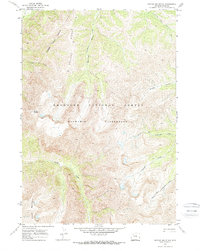
1970 Map of Needle Mountain
USGS Topo · Published 1973About this map
Needle Mountain and Crater Mountain dominate this high-elevation landscape within the Shoshone National Forest. This 1970 field-checked survey reveals a territory defined by dramatic drainage systems, including the headwaters of Needle Creek and the divergent branches of North Fork Anderson Creek and South Fork Anderson Creek. The map documents a period before land lines were established in this section of the Washakie Wilderness, showing a terrain where travel was dictated by natural corridors like Boulder Ridge and a solitary Pack Trail in the northwest. The absence of roads or permanent settlements emphasizes the protected status of the area, while the presence of an indefinite wilderness boundary suggests the evolving administrative management of these public lands during the early 1970s.
Find a feature on this map
14 named features on this map. Tap any name to fly to it.
Don’t see what you’re looking for? This feature index may not catch every label — zoom into the map to look around manually.
Map Details
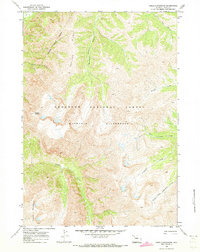
Editions of this 1970 Needle Mountain Map
2 editions found
Other maps of this area

1893 · Ishawooa
USGS Topo · 1:125,000

1895 · Ishawooa
USGS Topo · 1:125,000

1899 · Ishawooa
USGS Topo · 1:125,000

1904 · Kirwin
USGS Topo · 1:125,000

1905 · Younts Peak
USGS Topo · 1:125,000

1906 · Kirwin
USGS Topo · 1:125,000

1907 · Younts Peak
USGS Topo · 1:125,000

1955 · Cody
USGS Topo · 1:250,000

1955 · Thermopolis
USGS Topo · 1:250,000

1956 · Emerald Lake
USGS Topo · 1:24,000