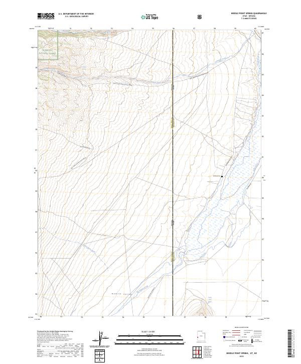
2023 Map of Needle Point Spring
USGS Topo · Published 2023About this map
Hamlin Valley serves as a remote desert corridor along the Nevada-Utah state line, where drainage systems like Lake Creek and Big Springs Creek define the arid landscape. The area is marked by the transition from the protected slopes of the Highland Ridge Wilderness and Humboldt National Forest down into the flat valley floor.
Find a feature on this map
24 named features on this map. Tap any name to fly to it.
Don’t see what you’re looking for? This feature index may not catch every label — zoom into the map to look around manually.
Map Details
Editions of this 2023 Needle Point Spring Map
This is the sole edition of this map. No revisions or reprints were ever made.
Other maps of this area

1949 · Garrison
USGS Topo · 1:62,500

1951 · Garrison
USGS Topo · 1:62,500

1953 · Richfield
USGS Topo · 1:250,000

1956 · Lund
USGS Topo · 1:250,000

1958 · Richfield
USGS Topo · 1:250,000

1960 · Lund
USGS Topo · 1:250,000

1960 · Burbank Hills
USGS Topo · 1:62,500

1971 · Mormon Gap
USGS Topo · 1:24,000
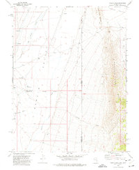
1972 · Tweedy Wash
USGS Topo · 1:24,000

1972 · Big Springs
USGS Topo · 1:24,000