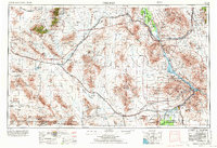
1956 Map of Needles
USGS Topo · Published 1972About this map
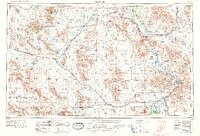
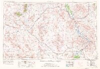
The Colorado River serves as the vital boundary and lifeblood of this desert region, winding through the Chemehuevi Valley and supporting the vast Lake Havasu reservoir. This mid-century landscape is defined by the heavy infrastructure of the Atchison Topeka and Santa Fe railroad and the desert-spanning routes of U.S. 66 and U.S. 95. The map records a network of sidings and small settlements like Goffs, Essex, and Vidal, many established to serve the rail lines and water management systems.
Find a feature on this map
61 named features on this map. Tap any name to fly to it.
Don’t see what you’re looking for? This feature index may not catch every label — zoom into the map to look around manually.
Map Details
Editions of this 1956 Needles Map
7 editions found

Other maps of this area

1886 · Diamond Creek
USGS Topo · 1:250,000

1886 · Camp Mohave
USGS Topo · 1:250,000

1892 · Diamond Creek
USGS Topo · 1:250,000

1892 · Camp Mohave
USGS Topo · 1:250,000

1903 · Needles
USGS Topo · 1:125,000

1904 · Needles Special
USGS Topo · 1:125,000

1910 · Ivanpah
USGS Topo · 1:250,000

1911 · Parker
USGS Topo · 1:125,000

1912 · Ivanpah
USGS Topo · 1:250,000

1923 · Signal
USGS Topo · 1:250,000