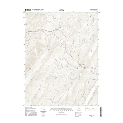
2016 Map of Needmore
USGS Topo · Published 2016About this map
Bean Settlement and the small community of Needmore anchor this section of Hardy County, where the topography is defined by the massive ridges of S Branch Mtn and Short Mtn. The landscape is a network of deep hollows and high points, including Lawn Knob and Hunting Ridge, with drainage provided by the Lost River and its numerous tributaries such as Waterlick Run and Bears Hell Run. A distinct concentration of family-named roads like Bishop Rd, Paul Bean Rd, and Lem Parks Rd suggests a long-standing pattern of rural ownership and local heritage in these Appalachian valleys.
Find a feature on this map
73 named features on this map. Tap any name to fly to it.
Don’t see what you’re looking for? This feature index may not catch every label — zoom into the map to look around manually.
Map Details
Editions of this 2016 Needmore Map
This is the sole edition of this map. No revisions or reprints were ever made.
Other maps of this area

1891 · Romney
USGS Topo · 1:125,000

1892 · Woodstock
USGS Topo · 1:125,000

1920 · Moorefield
USGS Topo · 1:62,500

1921 · Orkney Springs
USGS Topo · 1:48,000

1921 · Moorefield
USGS Topo · 1:48,000

1922 · Moorefield
USGS Topo · 1:62,500

1922 · Wardensville
USGS Topo · 1:62,500

1923 · Orkney Springs
USGS Topo · 1:62,500

1923 · Edinburg
USGS Topo · 1:62,500

1924 · Wardensville
USGS Topo · 1:62,500