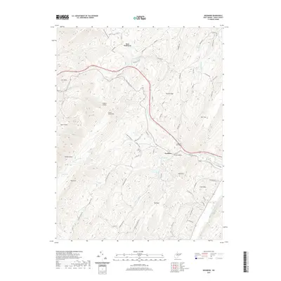
2019 Map of Needmore
USGS Topo · Published 2019About this map
Bean Settlement and Needmore anchor this section of Hardy County, where the topography is defined by the parallel ridges of South Branch Mtn and Big Ridge. The landscape is a network of steep hollows and narrow runs, including the evocative Bears Hell and Jemima Hollow. This survey provides a modern look at rural infrastructure, tracing the paths of Old Rte 55 and Needmore Rd as they navigate the difficult terrain of the Potomac Highlands.
Find a feature on this map
73 named features on this map. Tap any name to fly to it.
Don’t see what you’re looking for? This feature index may not catch every label — zoom into the map to look around manually.
Map Details
Editions of this 2019 Needmore Map
This is the sole edition of this map. No revisions or reprints were ever made.
Other maps of this area

1891 · Romney
USGS Topo · 1:125,000

1892 · Woodstock
USGS Topo · 1:125,000

1920 · Moorefield
USGS Topo · 1:62,500

1921 · Orkney Springs
USGS Topo · 1:48,000

1921 · Moorefield
USGS Topo · 1:48,000

1922 · Moorefield
USGS Topo · 1:62,500

1922 · Wardensville
USGS Topo · 1:62,500

1923 · Orkney Springs
USGS Topo · 1:62,500

1923 · Edinburg
USGS Topo · 1:62,500

1924 · Wardensville
USGS Topo · 1:62,500