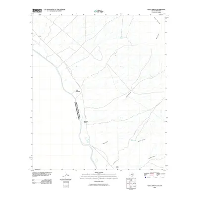
2010 Map of Neely Arroyo
USGS Topo · Published 2010About this map
Fort Quitman sits at a strategic bend along the Rio Grande, marking a significant historical intersection of the international border and desert passage. This 2010 survey delineates the stark terrain of the Trans-Pecos, where the Quitman Mountains rise sharply to the east of the river valley. The map documents the arid drainage systems that define the local geography, including McClintock Arroyo and Arroyo Rodriquez, which cut through the landscape toward the river. Local habitation and land use are centered on the Neely Ranch and supported by water features like Cowan Tank and Neely Tank. Transportation in this remote borderland relies on rugged routes such as Esperanza Rd and Quitman Pass Rd, which provide access to the canyons and the Quitman Cemetery near the old fort site.
Find a feature on this map
16 named features on this map. Tap any name to fly to it.
Don’t see what you’re looking for? This feature index may not catch every label — zoom into the map to look around manually.
Map Details
Editions of this 2010 Neely Arroyo Map
This is the sole edition of this map. No revisions or reprints were ever made.
Other maps of this area

1894 · Fort Hancock
USGS Topo · 1:125,000

1895 · Sierra Blanca
USGS Topo · 1:125,000

1897 · Eagle Mountain
USGS Topo · 1:125,000

1916 · Eagle Mountain
USGS Topo · 1:125,000

1943 · Fort Quitman
USGS Topo · 1:62,500

1954 · Van Horn
USGS Topo · 1:250,000

1958 · Van Horn
USGS Topo · 1:250,000

1959 · Marfa
USGS Topo · 1:250,000

1964 · Lasca
USGS Topo · 1:24,000

1964 · Sierra Blanca SW
USGS Topo · 1:24,000