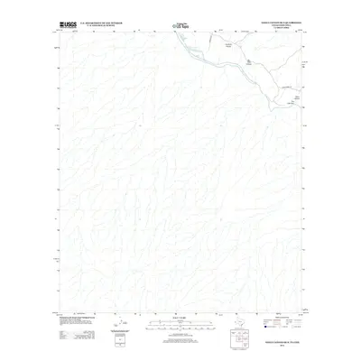
2012 Map of Neely Canyon OE S
USGS Topo · Published 2012About this map
The Rio Grande snakes through the northern portion of this arid border region, serving as the primary hydrological feature in an otherwise dry landscape of arroyos and canyons. The terrain is characterized by complex drainage patterns, where seasonally dry watercourses like Quitman Arroyo and Davis Arroyo head toward the river valley.
Find a feature on this map
7 named features on this map. Tap any name to fly to it.
Don’t see what you’re looking for? This feature index may not catch every label — zoom into the map to look around manually.
Map Details
Editions of this 2012 Neely Canyon OE S Map
This is the sole edition of this map. No revisions or reprints were ever made.
Other maps of this area

1894 · Fort Hancock
USGS Topo · 1:125,000

1895 · Sierra Blanca
USGS Topo · 1:125,000

1897 · Eagle Mountain
USGS Topo · 1:125,000

1916 · Eagle Mountain
USGS Topo · 1:125,000

1943 · Fort Quitman
USGS Topo · 1:62,500

1954 · Van Horn
USGS Topo · 1:250,000

1958 · Van Horn
USGS Topo · 1:250,000

1959 · Marfa
USGS Topo · 1:250,000

1964 · Sierra Blanca SW
USGS Topo · 1:24,000

1965 · Marfa
USGS Topo · 1:250,000