2016 Map of Neely Canyon OE S
USGS Topo · Published 2016About this map
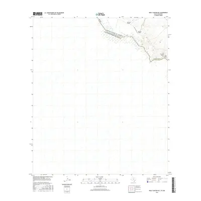
The Rio Grande serves as the focal point for this 2016 international border survey, defining the winding boundary between Texas and Chihuahua, Mexico. The landscape is characterized by its drainage network, where the Quitman Arroyo and Davis Arroyo cut through the arid terrain of Hudspeth County. Significant natural landmarks such as Big Tank Canyon and the curiously named The Little Box provide geographic orientation in an area largely defined by its topographical relief. A single primary access route, Indian Hot Spring Rd, traverses the northeast corner, illustrating the limited infrastructure and remote character of this desert region near the United States and Mexico border.
Find a feature on this map
9 named features on this map. Tap any name to fly to it.
Don’t see what you’re looking for? This feature index may not catch every label — zoom into the map to look around manually.
Map Details
Editions of this 2016 Neely Canyon OE S Map
This is the sole edition of this map. No revisions or reprints were ever made.
Other maps of this area

1894 · Fort Hancock
USGS Topo · 1:125,000

1895 · Sierra Blanca
USGS Topo · 1:125,000

1897 · Eagle Mountain
USGS Topo · 1:125,000

1916 · Eagle Mountain
USGS Topo · 1:125,000

1943 · Fort Quitman
USGS Topo · 1:62,500

1954 · Van Horn
USGS Topo · 1:250,000

1958 · Van Horn
USGS Topo · 1:250,000

1959 · Marfa
USGS Topo · 1:250,000

1964 · Sierra Blanca SW
USGS Topo · 1:24,000

1965 · Marfa
USGS Topo · 1:250,000