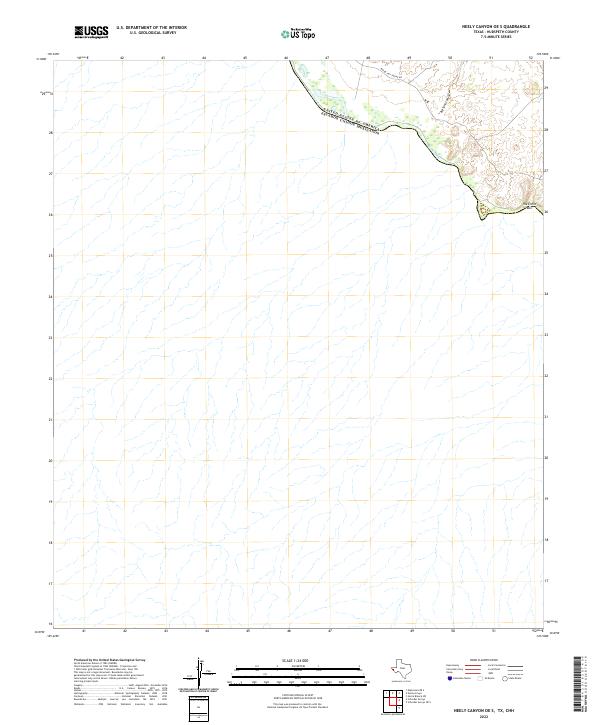
2022 Map of Neely Canyon OE S
USGS Topo · Published 2022About this map
The Rio Grande serves as the prominent natural and political boundary in this portion of Hudspeth County, demarcating the border between the United States and Mexico. The landscape is characterized by a series of drainage patterns and canyons that cut toward the river basin, most notably Big Tank Canyon and the distinctive terrain of The Little Box located at a sharp bend in the river. This 2022 survey documents the sparse desert environment where transportation is limited to rugged tracks like Indian Hot Spring Rd, which traces the high ground above the floodplains. The map illustrates the fundamental relationship between the international boundary and the arid topography of West Texas, highlighting a region defined more by its geological features than by human settlement.
Find a feature on this map
5 named features on this map. Tap any name to fly to it.
Don’t see what you’re looking for? This feature index may not catch every label — zoom into the map to look around manually.
Map Details
Editions of this 2022 Neely Canyon OE S Map
This is the sole edition of this map. No revisions or reprints were ever made.
Other maps of this area

1894 · Fort Hancock
USGS Topo · 1:125,000

1895 · Sierra Blanca
USGS Topo · 1:125,000

1897 · Eagle Mountain
USGS Topo · 1:125,000

1916 · Eagle Mountain
USGS Topo · 1:125,000

1943 · Fort Quitman
USGS Topo · 1:62,500

1954 · Van Horn
USGS Topo · 1:250,000

1958 · Van Horn
USGS Topo · 1:250,000

1959 · Marfa
USGS Topo · 1:250,000

1964 · Sierra Blanca SW
USGS Topo · 1:24,000

1965 · Marfa
USGS Topo · 1:250,000