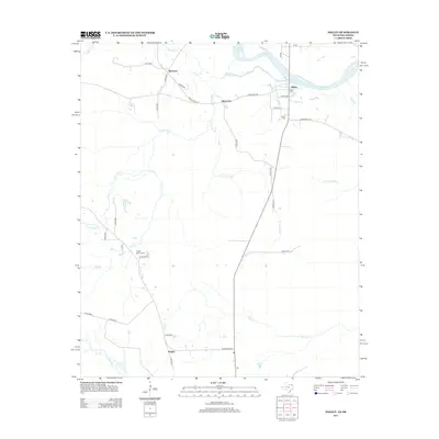
2013 Map of Negley
USGS Topo · Published 2013About this map
The Red River defines the northern boundary of this Northeast Texas landscape, where several rural settlements are linked by a network of farm-to-market roads and county routes. Near the riverside, the communities of Albion and Blakeney sit amidst a complex drainage system featuring Hemingway Slough and Big Pine Cr. The terrain is defined by its many waterways, including the winding path of Pecan Bayou in the southwest and the central flow of Little Pine Cr.
Find a feature on this map
37 named features on this map. Tap any name to fly to it.
Don’t see what you’re looking for? This feature index may not catch every label — zoom into the map to look around manually.
Map Details
Editions of this 2013 Negley Map
This is the sole edition of this map. No revisions or reprints were ever made.
Other maps of this area

1950 · Acworth
USGS Topo · 1:24,000

1950 · White Rock
USGS Topo · 1:24,000

1951 · Garvin
USGS Topo · 1:24,000

1951 · White Rock
USGS Topo · 1:24,000

1951 · Acworth
USGS Topo · 1:24,000

1951 · Millerton
USGS Topo · 1:24,000

1951 · Negley
USGS Topo · 1:24,000

1951 · Kiomatia
USGS Topo · 1:24,000

1951 · Manchester
USGS Topo · 1:24,000

1953 · Texarkana
USGS Topo · 1:250,000