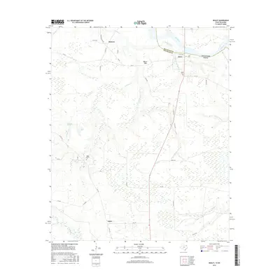
2016 Map of Negley
USGS Topo · Published 2016About this map
The Red River defines the border between Oklahoma and Texas in this rural landscape within Red River County. Small settlements such as Negley, Silver City, and Blakeney are scattered across a terrain defined by complex hydrography, where Hemingway Slough and Big Pine Cr drain toward the river. To the south, Pecan Bayou meanders through the bottomlands, reflecting the region's agricultural and ranching character.
Find a feature on this map
44 named features on this map. Tap any name to fly to it.
Don’t see what you’re looking for? This feature index may not catch every label — zoom into the map to look around manually.
Map Details
Editions of this 2016 Negley Map
This is the sole edition of this map. No revisions or reprints were ever made.
Other maps of this area

1950 · Acworth
USGS Topo · 1:24,000

1950 · White Rock
USGS Topo · 1:24,000

1951 · Garvin
USGS Topo · 1:24,000

1951 · White Rock
USGS Topo · 1:24,000

1951 · Acworth
USGS Topo · 1:24,000

1951 · Millerton
USGS Topo · 1:24,000

1951 · Negley
USGS Topo · 1:24,000

1951 · Kiomatia
USGS Topo · 1:24,000

1951 · Manchester
USGS Topo · 1:24,000

1953 · Texarkana
USGS Topo · 1:250,000