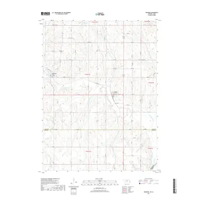
2017 Map of Nehawka
USGS Topo · Published 2017About this map
The village of Nehawka and the city of Union anchor this topographic study of the rolling agricultural lands spanning the boundary of Cass and Otoe counties. This 2017 survey shows a landscape deeply defined by the drainage systems of Weeping Water Creek and its many tributaries, including the N Br Weeping Water Cr and S Br Weeping Water Cr. These waterways create a corrugated terrain that has dictated local road placement and field orientation for generations.
Find a feature on this map
75 named features on this map. Tap any name to fly to it.
Don’t see what you’re looking for? This feature index may not catch every label — zoom into the map to look around manually.
Map Details
Editions of this 2017 Nehawka Map
This is the sole edition of this map. No revisions or reprints were ever made.
Other maps of this area

1903 · Weeping Water
USGS Topo · 1:125,000

1907 · Nebraska City
USGS Topo · 1:62,500

1929 · Weeping Water
USGS Topo · 1:125,000

1935 · Nehawka
USGS Topo · 1:48,000

1940 · Nehawka
USGS Topo · 1:62,500

1955 · Nebraska City
USGS Topo · 1:250,000

1955 · Lincoln
USGS Topo · 1:250,000

1956 · Murray
USGS Topo · 1:24,000

1956 · Rock Bluff
USGS Topo · 1:24,000
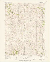
1956 · Weeping Water NE
USGS Topo · 1:24,000