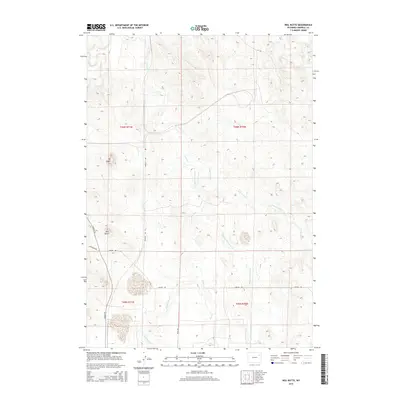
2015 Map of Neil Butte
USGS Topo · Published 2015About this map
The Belle Fourche River cuts through the northwest corner of this Campbell County landscape, anchoring a complex drainage system defined by the diverging forks of Coal Cr. Significant elevation markers such as Mt Logan and the namesake Neil Butte rise above the high plains, providing prominent landmarks for those navigating the rural road network. The map reveals a land divided by ranching and resource-management boundaries, including sections of t46n r71w and t45n r70w.
Find a feature on this map
20 named features on this map. Tap any name to fly to it.
Don’t see what you’re looking for? This feature index may not catch every label — zoom into the map to look around manually.
Map Details
Editions of this 2015 Neil Butte Map
This is the sole edition of this map. No revisions or reprints were ever made.
Other maps of this area

1954 · Gillette
USGS Topo · 1:250,000

1955 · Newcastle
USGS Topo · 1:250,000

1955 · Gillette
USGS Topo · 1:250,000

1958 · Gillette
USGS Topo · 1:250,000

1958 · Newcastle
USGS Topo · 1:250,000

1962 · Gillette
USGS Topo · 1:250,000

1971 · The Gap SW
USGS Topo · 1:24,000

1971 · Open A Ranch
USGS Topo · 1:24,000

1971 · Whitetail Creek
USGS Topo · 1:24,000

1971 · Rough Creek
USGS Topo · 1:24,000