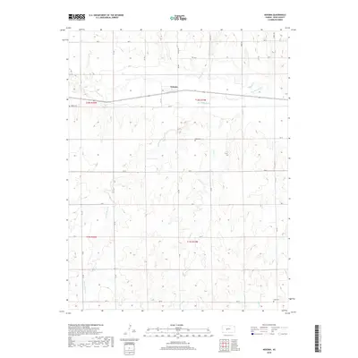
2018 Map of Nekoma
USGS Topo · Published 2018About this map
Nekoma serves as the central hub of this Rush County landscape, where the agricultural grid meets the winding courses of the Western Kansas plains. The terrain is defined by the drainage patterns of Walnut Cr, which is joined by several tributaries including the distinctive Old Maids Fork. These waterways cut through the section lines, creating a varied topography that dictates the placement of rural infrastructure.
Find a feature on this map
32 named features on this map. Tap any name to fly to it.
Don’t see what you’re looking for? This feature index may not catch every label — zoom into the map to look around manually.
Map Details
Editions of this 2018 Nekoma Map
This is the sole edition of this map. No revisions or reprints were ever made.
Other maps of this area

1889 · Larned
USGS Topo · 1:125,000

1891 · Larned
USGS Topo · 1:125,000

1892 · Ness
USGS Topo · 1:125,000

1893 · Ellis
USGS Topo · 1:125,000

1894 · Ness
USGS Topo · 1:125,000

1896 · Hays
USGS Topo · 1:125,000

1955 · Great Bend
USGS Topo · 1:250,000

1957 · Great Bend
USGS Topo · 1:250,000

1958 · Great Bend
USGS Topo · 1:250,000

1965 · Mc Cracken
USGS Topo · 1:24,000