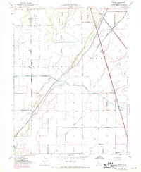
1948 Map of Nelson
USGS Topo · Published 1970About this map
Nelson and Esquon anchor this agricultural landscape in the Sacramento Valley, where the Southern Pacific railroad runs parallel to the Butte Creek corridor. The map reveals an intricate hydraulic network designed for irrigation and drainage, featuring the Western Canal, Odell Canal, and Whites Drain. These man-made improvements cut through natural watercourses like Hamlin Slough and Durham Slough, illustrating the intensive management of the valley floor for large-scale farming.
Find a feature on this map
21 named features on this map. Tap any name to fly to it.
Don’t see what you’re looking for? This feature index may not catch every label — zoom into the map to look around manually.
Map Details
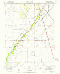
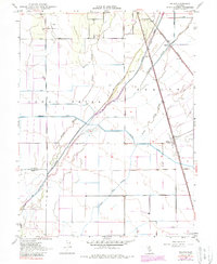
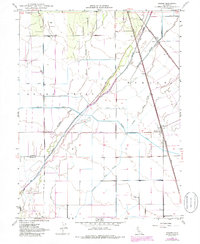
Editions of this 1948 Nelson Map
4 editions found
Other maps of this area

1888 · Marysville
USGS Topo · 1:125,000

1891 · Chico
USGS Topo · 1:125,000

1891 · Marysville
USGS Topo · 1:125,000

1893 · Chico
USGS Topo · 1:125,000

1894 · Marysville
USGS Topo · 1:125,000

1895 · Marysville
USGS Topo · 1:125,000

1895 · Chico
USGS Topo · 1:125,000

1911 · Landlow
USGS Topo · 1:31,680

1912 · Dry Creek
USGS Topo · 1:31,680

1912 · Durham
USGS Topo · 1:31,680