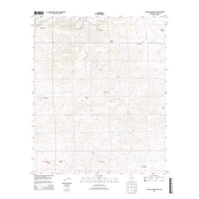
2013 Map of Nelson Canyon East
USGS Topo · Published 2013About this map
Old Pruit Ranch sits at the heart of this high-desert landscape in Lincoln County, highlighting the region's enduring ranching heritage. This 2013 survey reveals an area defined by deep drainage systems and traditional land use, including the operations of the Lincoln County Livestock Company to the south. The terrain is characterized by a series of significant carved features such as Nelson Canyon, Pruit Canyon, and the appropriately named Big Draw. Water sources are sparse but critical, marked by the presence of Bluewater Spring in the northern reaches. The map captures a moment in the modern era where limited infrastructure like CO Road E034 provides the primary access through a network of canyons including Tecolote Canyon and Coyote Canyon.
Find a feature on this map
11 named features on this map. Tap any name to fly to it.
Don’t see what you’re looking for? This feature index may not catch every label — zoom into the map to look around manually.
Map Details
Editions of this 2013 Nelson Canyon East Map
This is the sole edition of this map. No revisions or reprints were ever made.
Other maps of this area

1936 · Arabela
USGS Topo · 1:48,000

1942 · Arabela
USGS Topo · 1:62,500

1955 · Roswell
USGS Topo · 1:250,000

1958 · Roswell
USGS Topo · 1:250,000

1961 · Tinnie
USGS Topo · 1:62,500

1962 · Roswell
USGS Topo · 1:250,000

1962 · Horseshoe Bend
USGS Topo · 1:62,500
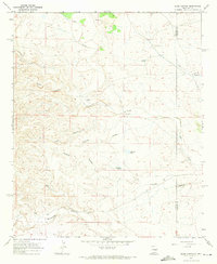
1967 · Elsie Canyon
USGS Topo · 1:24,000

1979 · Roswell
USGS Topo · 1:100,000
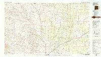
1979 · Salt Creek
USGS Topo · 1:100,000