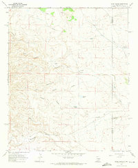
1967 Map of Elsie Canyon
USGS Topo · Published 1971About this map
The high desert drainage systems along the Lincoln and Chaves County line define this 1960s landscape, where intermittent water sources dictate the placement of human activity. The map reveals an arid ranching economy centered around isolated outposts like Salt Creek Ranch, Porter Ranch, and Jones Ranch. These homesteads are connected by a network of unimproved dirt roads that navigate a complex topography of deeply incised ravines, including Elsie Canyon, Cherry Canyon, and Catclaw Canyon.
Find a feature on this map
17 named features on this map. Tap any name to fly to it.
Don’t see what you’re looking for? This feature index may not catch every label — zoom into the map to look around manually.
Map Details
Editions of this 1967 Elsie Canyon Map
This is the sole edition of this map. No revisions or reprints were ever made.
Other maps of this area

1936 · Arabela
USGS Topo · 1:48,000

1942 · Arabela
USGS Topo · 1:62,500

1955 · Roswell
USGS Topo · 1:250,000

1958 · Roswell
USGS Topo · 1:250,000

1961 · Tinnie
USGS Topo · 1:62,500

1962 · Roswell
USGS Topo · 1:250,000

1962 · Horseshoe Bend
USGS Topo · 1:62,500

1967 · White Flat
USGS Topo · 1:24,000
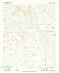
1967 · White Flat SE
USGS Topo · 1:24,000
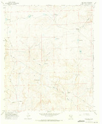
1967 · Deep Well
USGS Topo · 1:24,000