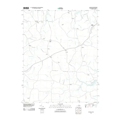
2010 Map of Nelson
USGS Topo · Published 2010About this map
Hitesburg and the surrounding borderlands of Virginia and North Carolina are defined by a network of rural crossroads and family-run mill sites at the turn of the 21st century. The landscape is deeply tied to the movement of water, from the North Fork Aarons Creek in the northwest to the complex drainage of Johnson Creek in the south. These waterways once powered local industry, as evidenced by the locations of Heights Mill and Willards Mill.
Find a feature on this map
74 named features on this map. Tap any name to fly to it.
Don’t see what you’re looking for? This feature index may not catch every label — zoom into the map to look around manually.
Map Details
Editions of this 2010 Nelson Map
This is the sole edition of this map. No revisions or reprints were ever made.
Other maps of this area

1941 · Clarksville
USGS Topo · 1:48,000

1943 · Clarksville
USGS Topo · 1:62,500

1943 · Roxboro
USGS Topo · 1:62,500

1953 · Oxford
USGS Topo · 1:62,500

1953 · South Boston
USGS Topo · 1:62,500

1953 · Greensboro
USGS Topo · 1:250,000

1954 · Greensboro
USGS Topo · 1:250,000

1957 · South Boston
USGS Topo · 1:62,500

1957 · Clarksville
USGS Topo · 1:62,500

1962 · Greensboro
USGS Topo · 1:250,000