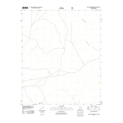
2011 Map of Nelson Reservoir NE
USGS Topo · Published 2011About this map
Coyote Creek meanders through this high-altitude landscape in Apache County, crossing paths with the established route of Old US 60. The terrain is characterized by broad drainage patterns like Cow Springs Draw and the prominence of Escudilla to the southeast. Water management is a central feature of the local infrastructure, anchored by the Becker Reservoir Dam in the southwestern corner. The map reflects a modern rural layout where newer thoroughfares like County Rd 4001 intersect with the legacy of the historic national highway system. This area represents a quiet segment of the Arizona-New Mexico borderlands where ranching and resource management are etched into the road and drainage networks.
Find a feature on this map
6 named features on this map. Tap any name to fly to it.
Don’t see what you’re looking for? This feature index may not catch every label — zoom into the map to look around manually.
Map Details
Editions of this 2011 Nelson Reservoir NE Map
This is the sole edition of this map. No revisions or reprints were ever made.
Other maps of this area

1886 · St Johns
USGS Topo · 1:250,000

1892 · St Johns
USGS Topo · 1:250,000

1954 · Saint Johns
USGS Topo · 1:250,000

1957 · Saint Johns
USGS Topo · 1:250,000

1958 · Saint Johns
USGS Topo · 1:250,000

1962 · Saint Johns
USGS Topo · 1:250,000
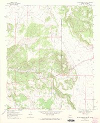
1968 · Nelson Reservoir NE
USGS Topo · 1:24,000
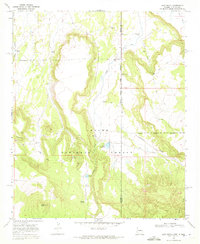
1968 · Loco Knoll
USGS Topo · 1:24,000

1969 · Coyote Hills
USGS Topo · 1:24,000
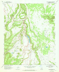
1969 · Nelson Reservoir
USGS Topo · 1:24,000