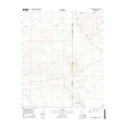
2014 Map of Nelson Reservoir NE
USGS Topo · Published 2014About this map
The high desert terrain of Apache and Catron Counties straddles the Arizona-New Mexico border in this 2014 survey. The settlement of Escudilla Bonita anchors the southern portion of the map near the state line, where local roads such as Brooks, Coyote, and Jackrabbit provide access to the rural landscape. This area is defined by its drainage systems, including the winding Coyote Creek and the deep cuts of Cottonwood Canyon and Cow Springs Draw. Transportation is dominated by the corridor of Us-60, which runs east-west across the lower half of the quadrangle. A visible trace of Old US-60 reflects the historical evolution of the regional highway system, while County Road A001 serves as a primary north-south artery following the administrative boundary between the two states.
Find a feature on this map
14 named features on this map. Tap any name to fly to it.
Don’t see what you’re looking for? This feature index may not catch every label — zoom into the map to look around manually.
Map Details
Editions of this 2014 Nelson Reservoir NE Map
This is the sole edition of this map. No revisions or reprints were ever made.
Other maps of this area

1886 · St Johns
USGS Topo · 1:250,000

1892 · St Johns
USGS Topo · 1:250,000

1954 · Saint Johns
USGS Topo · 1:250,000

1957 · Saint Johns
USGS Topo · 1:250,000

1958 · Saint Johns
USGS Topo · 1:250,000

1962 · Saint Johns
USGS Topo · 1:250,000
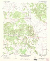
1968 · Nelson Reservoir NE
USGS Topo · 1:24,000
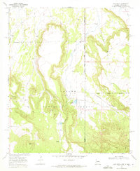
1968 · Loco Knoll
USGS Topo · 1:24,000

1969 · Coyote Hills
USGS Topo · 1:24,000
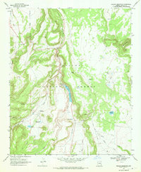
1969 · Nelson Reservoir
USGS Topo · 1:24,000