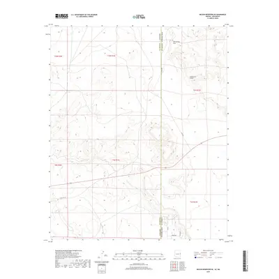
2018 Map of Nelson Reservoir NE
USGS Topo · Published 2018About this map
The high plateau terrain along the Arizona and New Mexico state line defines this 2018 survey of the border region between Apache County, Arizona and Catron County, New Mexico. The landscape is dominated by the seasonal drainage patterns of Coyote Cr and the northern reaches of Cow Springs Draw, revealing a remote ranching and transit corridor. Traces of historical road networks are visible through the alignment of Old US Hwy 60, which runs roughly parallel to the modern highway route. The map documents localized landmarks and access points like Arrowhead and Jackrabbit, alongside named geographic features such as Cottonwood Canyon. This map serves as a primary record of the modern rural infrastructure and land divisions near the western edge of the Continental Divide.
Find a feature on this map
15 named features on this map. Tap any name to fly to it.
Don’t see what you’re looking for? This feature index may not catch every label — zoom into the map to look around manually.
Map Details
Editions of this 2018 Nelson Reservoir NE Map
This is the sole edition of this map. No revisions or reprints were ever made.
Other maps of this area

1886 · St Johns
USGS Topo · 1:250,000

1892 · St Johns
USGS Topo · 1:250,000

1954 · Saint Johns
USGS Topo · 1:250,000

1957 · Saint Johns
USGS Topo · 1:250,000

1958 · Saint Johns
USGS Topo · 1:250,000

1962 · Saint Johns
USGS Topo · 1:250,000
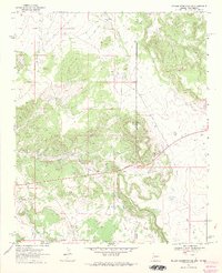
1968 · Nelson Reservoir NE
USGS Topo · 1:24,000
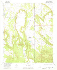
1968 · Loco Knoll
USGS Topo · 1:24,000

1969 · Coyote Hills
USGS Topo · 1:24,000
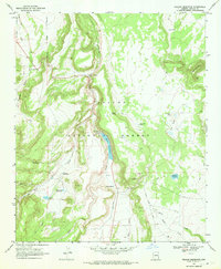
1969 · Nelson Reservoir
USGS Topo · 1:24,000