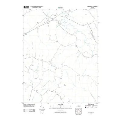
2010 Map of Nelsonville
USGS Topo · Published 2010About this map
Roanoke serves as a central point in this rural landscape, situated at the confluence of numerous local roads and small drainages like Middle Creek. The area is defined by a series of prominent knobs and ridges, such as Pottmesser Knob and Farmers Ridge, which dictate the winding paths of the local creek systems. A complex network of watercourses including the Rolling Fork and Crady Creek carve through the terrain, supporting the small-scale agricultural life of the region.
Find a feature on this map
60 named features on this map. Tap any name to fly to it.
Don’t see what you’re looking for? This feature index may not catch every label — zoom into the map to look around manually.
Map Details
Editions of this 2010 Nelsonville Map
This is the sole edition of this map. No revisions or reprints were ever made.
Other maps of this area

1935 · Elizabethtown
USGS Topo · 1:48,000

1936 · Vine Grove
USGS Topo · 1:62,500

1938 · Elizabethtown
USGS Topo · 1:62,500

1943 · Vine Grove
USGS Topo · 1:62,500

1946 · Colesburg
USGS Topo · 1:24,000

1946 · Vine Grove
USGS Topo · 1:62,500

1949 · Cravens
USGS Topo · 1:24,000

1949 · Tonieville
USGS Topo · 1:24,000

1949 · Elizabethtown
USGS Topo · 1:24,000

1949 · Shepherdsville
USGS Topo · 1:62,500