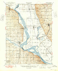
1949 Map of Nemaha
USGS Topo · Published 1949About this map
The Missouri River meanders through this mid-century survey, defining the border between Nebraska and Missouri as it flows past established river towns. The river's historical path is visible in the Old Channel and the Ditch near Rockport, illustrating the changing hydrology of the basin. On the Nebraska side, Peru stands as a significant cultural center, home to a Normal School and the nearby Mt Vernon Cem. The landscape is densely marked with rural social infrastructure, including dozens of named schoolhouses such as Loust Grove Sch, Shockey Sch, and Red Star Sch.
Find a feature on this map
70 named features on this map. Tap any name to fly to it.
Don’t see what you’re looking for? This feature index may not catch every label — zoom into the map to look around manually.
Map Details
Editions of this 1949 Nemaha Map
This is the sole edition of this map. No revisions or reprints were ever made.
Other maps of this area
1907 · Nebraska City
USGS Topo · 1:62,500
1915 · Falls City
USGS Topo · 1:62,500
1915 · Nemaha
USGS Topo · 1:62,500
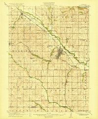
1915 · Howe
USGS Topo · 1:62,500
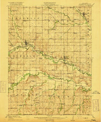
1916 · Humboldt
USGS Topo · 1:62,500
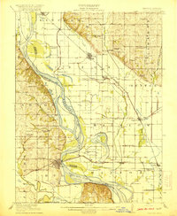
1920 · Craig
USGS Topo · 1:62,500
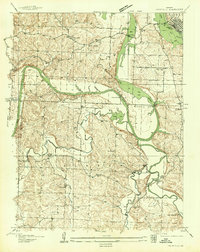
1936 · Fairfax
USGS Topo · 1:24,000
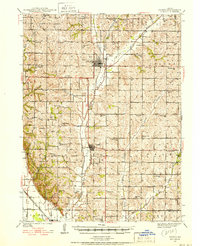
1939 · Tarkio
USGS Topo · 1:62,500
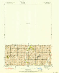
1939 · Farragut
USGS Topo · 1:62,500
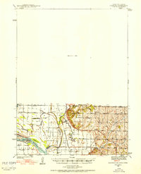
1939 · Hamburg
USGS Topo · 1:62,500