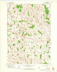
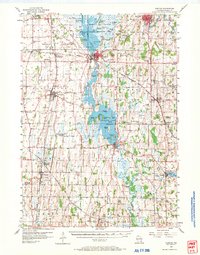
1959 Map of Nenno
USGS Topo · Published 1964About this map
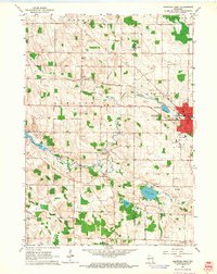
Glacial topography and the East Branch Rock River shape this rural landscape along the border of Dodge and Washington counties. In the late 1950s, the region was defined by small, tightly-knit agricultural settlements like Hochheim, Nenno, and Addison. The map reveals a dense network of local education and faith, evidenced by the numerous district schools and parish buildings that dotted the countryside, including Christs Manger Sch and Trinity Sch.
Find a feature on this map
29 named features on this map. Tap any name to fly to it.
Don’t see what you’re looking for? This feature index may not catch every label — zoom into the map to look around manually.
Map Details
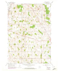
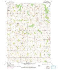
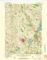
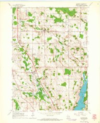
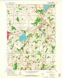
Editions of this 1959 Nenno Map
3 editions found
Other maps of this area
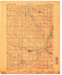
1904 · Hartford
USGS Topo · 1:62,500

1955 · Waupun
USGS Topo · 1:62,500

1955 · Campbellsport
USGS Topo · 1:62,500
1955 · Horicon
USGS Topo · 1:62,500

1957 · Madison
USGS Topo · 1:250,000
1959 · Hartford
USGS Topo · 1:62,500
1959 · Allenton
USGS Topo · 1:24,000
1959 · Hartford East
USGS Topo · 1:24,000
1959 · Hartford West
USGS Topo · 1:24,000

1960 · Madison
USGS Topo · 1:250,000