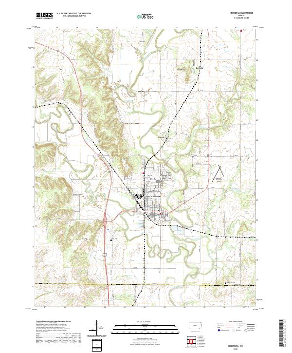
2022 Map of Neodesha
USGS Topo · Published 2022About this map
The confluence of the Fall River and the Verdigris River anchors the settlement of Neodesha, where a grid of streets reflects a century of growth in Wilson County. The landscape is marked by the prominent Buff Mound to the north, overlooking the small community of Buffville. This area shows a transition from the river-bottom agriculture to higher ground, where family history is preserved at Hatler Cem, Ross Cem, and Varner Cem.
Find a feature on this map
57 named features on this map. Tap any name to fly to it.
Don’t see what you’re looking for? This feature index may not catch every label — zoom into the map to look around manually.
Map Details
Editions of this 2022 Neodesha Map
This is the sole edition of this map. No revisions or reprints were ever made.
Other maps of this area

1886 · Fredonia
USGS Topo · 1:125,000

1886 · Independence
USGS Topo · 1:125,000

1894 · Fredonia
USGS Topo · 1:125,000

1894 · Independence
USGS Topo · 1:125,000

1905 · Independence
USGS Topo · 1:125,000

1938 · Fredonia
USGS Topo · 1:62,500

1938 · Altoona
USGS Topo · 1:62,500

1939 · Altoona
USGS Topo · 1:48,000

1939 · Fredonia
USGS Topo · 1:48,000

1942 · Fredonia
USGS Topo · 1:62,500