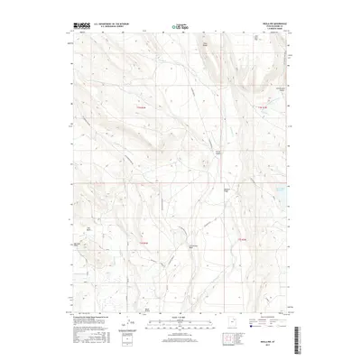
2017 Map of Neola NW
USGS Topo · Published 2017About this map
The high plateaus and drainage systems of Duchesne County are defined here by an intricate network of irrigation engineering and natural watercourses. Browns Draw Reservoir serves as a focal point for water management in this arid landscape, supported by human-made arteries like the Yellowstone Extension Canal and the Yellowstone Feeder Canal. These systems work in tandem with natural flows such as Timothy Cr and Spring Br Cr to sustain the region. The terrain is marked by prominent elevations including Tower Ridge and Monarch Ridge, while local history is etched into the landscape at John Starr Flat. To the south, the map details the descent into Cottonwood Wash and the depression of Clay Basin, illustrating the transition from upland ridges to the basins below. This cartographic study reveals the reliance of the local geography on a complex hierarchy of ditches and laterals, such as the Bluebell Lateral, that define the area's development.
Find a feature on this map
30 named features on this map. Tap any name to fly to it.
Don’t see what you’re looking for? This feature index may not catch every label — zoom into the map to look around manually.
Map Details
Editions of this 2017 Neola NW Map
This is the sole edition of this map. No revisions or reprints were ever made.
Other maps of this area

1885 · Uinta
USGS Topo · 1:250,000

1905 · Gilbert Peak
USGS Topo · 1:125,000

1906 · Gilbert Peak
USGS Topo · 1:125,000

1939 · Duchesne
USGS Topo · 1:125,000

1954 · Salt Lake City
USGS Topo · 1:250,000

1958 · Salt Lake City
USGS Topo · 1:250,000

1960 · Salt Lake City
USGS Topo · 1:250,000
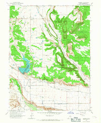
1965 · Bluebell
USGS Topo · 1:24,000
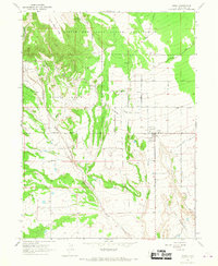
1965 · Neola
USGS Topo · 1:24,000
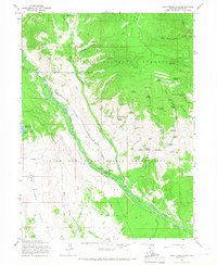
1965 · Pole Creek Cave
USGS Topo · 1:24,000