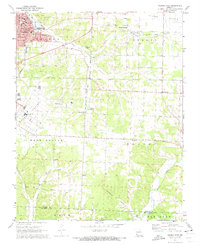
1972 Map of Neosho East
USGS Topo · Published 1973About this map
Neosho serves as the focal point for this early 1970s survey, showing a well-established community anchored by its Courthouse, Post Office, and specialized institutions. The presence of Crowder College on the site of Pools Prairie and the extensive National Fish Hatchery complex near Hickory Creek illustrate the town's diverse educational and federal infrastructure. Outside the city limits, the landscape transitions into the agricultural expanse of Olivers Prairie and the wooded hollows of Benton and Erie townships.
Find a feature on this map
44 named features on this map. Tap any name to fly to it.
Don’t see what you’re looking for? This feature index may not catch every label — zoom into the map to look around manually.
Map Details
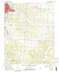
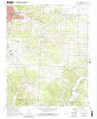
Editions of this 1972 Neosho East Map
3 editions found
Other maps of this area

1916 · Neosho
USGS Topo · 1:62,500

1940 · Noel
USGS Topo · 1:62,500

1941 · Rocky Comfort
USGS Topo · 1:62,500

1943 · Ritchey
USGS Topo · 1:62,500

1943 · Noel
USGS Topo · 1:62,500

1943 · Rocky Comfort
USGS Topo · 1:62,500

1954 · Tulsa
USGS Topo · 1:250,000

1958 · Tulsa
USGS Topo · 1:250,000

1963 · Tulsa
USGS Topo · 1:250,000
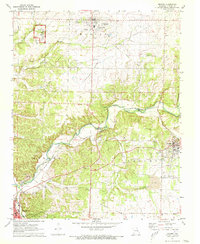
1972 · Granby
USGS Topo · 1:24,000