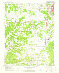
1972 Map of Neosho West
USGS Topo · Published 1973About this map
Neosho expands westward in the early 1970s, where the Missouri prairie meets the winding drainage of Buffalo Creek. This area reveals a transition from the structured street grid of the city to the rural landscape of Newton County, where small communities like Belfast and McElhany are anchored by local institutions such as Belfast Ch and Oakwood Ch. The transportation network is a primary feature, defined by the crossing of the St Louis San Francisco and Kansas City Southern railroads.
Find a feature on this map
41 named features on this map. Tap any name to fly to it.
Don’t see what you’re looking for? This feature index may not catch every label — zoom into the map to look around manually.
Map Details
Editions of this 1972 Neosho West Map
2 editions found
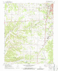
Other maps of this area

1907 · Wyandotte
USGS Topo · 1:125,000

1909 · Wyandotte
USGS Topo · 1:125,000

1916 · Neosho
USGS Topo · 1:62,500

1940 · Noel
USGS Topo · 1:62,500

1943 · Noel
USGS Topo · 1:62,500

1949 · Seneca
USGS Topo · 1:24,000

1949 · Racine
USGS Topo · 1:24,000

1950 · Seneca
USGS Topo · 1:24,000

1950 · Racine
USGS Topo · 1:24,000

1954 · Tulsa
USGS Topo · 1:250,000