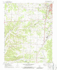
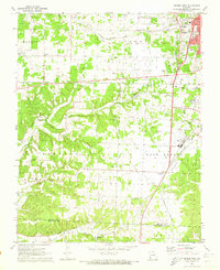
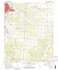
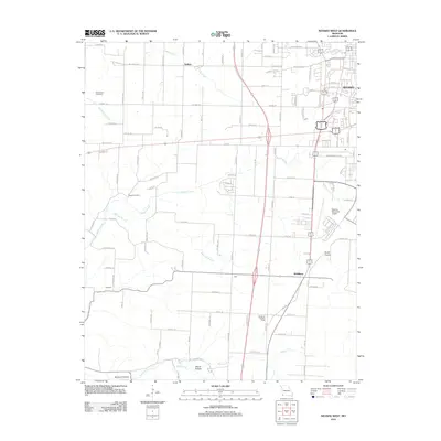
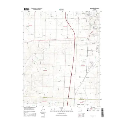
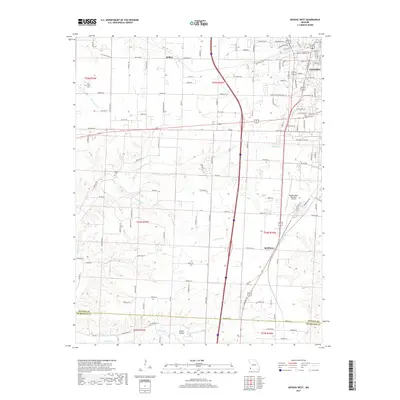
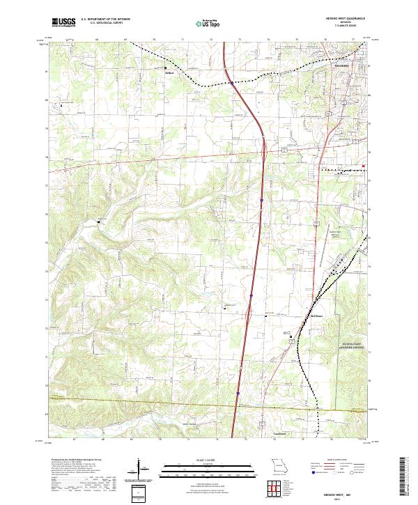
1972 Map of Neosho West
USGS Topo · Published 1986About this map
The St Louis San Francisco and Kansas City Southern railroads converge south of Neosho, creating a vital transportation corridor through Newton County in the early 1970s. The landscape is dotted with rural community anchors such as Belfast and McElhany, alongside numerous small congregations including New Salem Ch and Oakwood Ch. To the west, the terrain transitions into the forested drainages of Buffalo Creek and Harrison Branch, where localized features like Ben Lassiter Cave and several Mines suggest a history of both natural exploration and extraction. The map also captures the transition of the era's recreation and infrastructure, from the Drive-in Theater and Fairground near the city center to the Neosho Memorial Airport serving the region's growing aviation needs.
Find a feature on this map
50 named features on this map. Tap any name to fly to it.
Don’t see what you’re looking for? This feature index may not catch every label — zoom into the map to look around manually.
Map Details
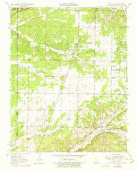
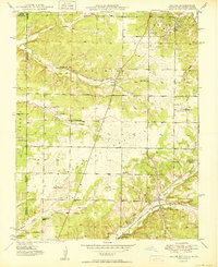
Editions of this 1972 Neosho West Map
2 editions found
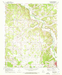
Historical Maps of Neosho Through Time
22 maps found
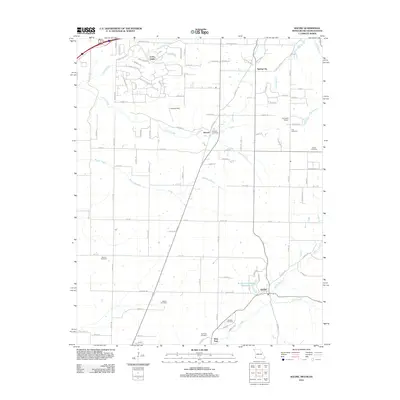
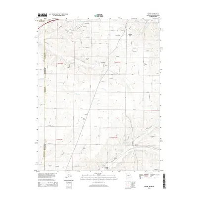
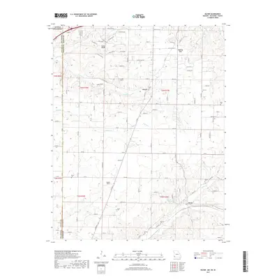
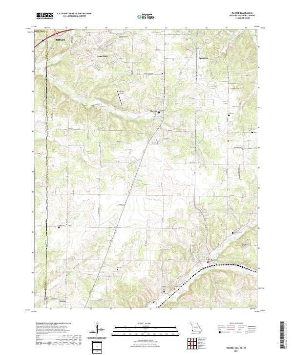
1949 Racine
Newton County, MO
1950 Racine
Newton County, MO
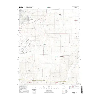
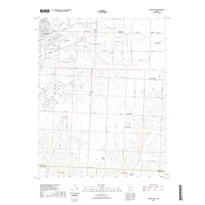
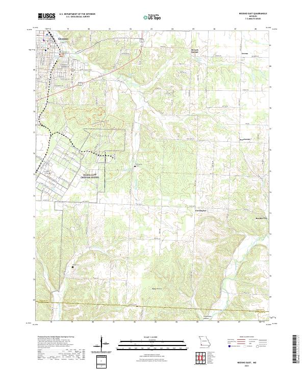
1972 Neosho East
Newton County, MO
1972 Neosho West
Newton County, MO
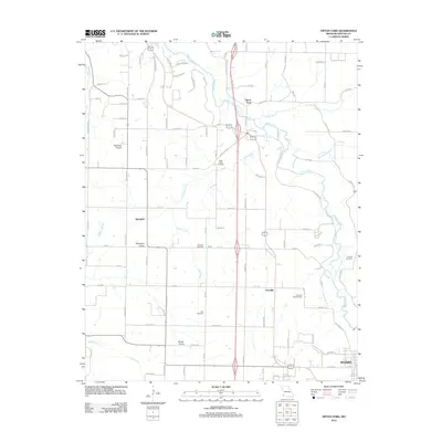
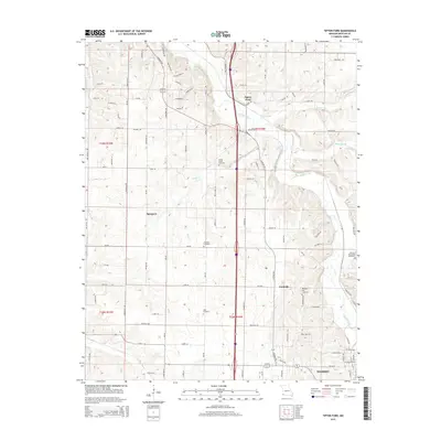
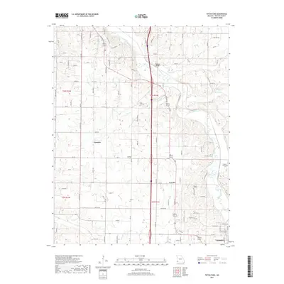
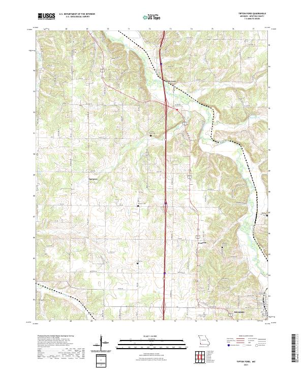
1972 Tipton Ford
Newton County, MO
2010 Racine
Newton County, MO
2012 Neosho East
Newton County, MO
2012 Neosho West
Newton County, MO
2012 Racine
Newton County, MO
2012 Tipton Ford
Newton County, MO
2015 Neosho East
Newton County, MO
2015 Neosho West
Newton County, MO
2015 Racine
Newton County, MO
2015 Tipton Ford
Newton County, MO
2017 Neosho East
Newton County, MO
2017 Neosho West
Newton County, MO
2017 Racine
Newton County, MO
2017 Tipton Ford
Newton County, MO
2021 Neosho East
Newton County, MO
2021 Neosho West
Newton County, MO
2021 Racine
Newton County, MO
2021 Tipton Ford
Newton County, MO