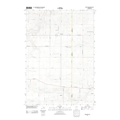
2013 Map of Nerstrand
USGS Topo · Published 2013About this map
Nerstrand serves as a primary hub for this section of southeastern Minnesota, situated at the junction of Main St and Highway 246 Blvd. The landscape is defined by the Little Cannon River in the north and the N Fork Zumbro River in the south, reflecting a region deeply tied to its watercourses and fertile plains. This survey provides a look at the cultural footprint of the early 21st century, documented through an extensive network of rural burial sites that point to the area's denominational history.
Find a feature on this map
49 named features on this map. Tap any name to fly to it.
Don’t see what you’re looking for? This feature index may not catch every label — zoom into the map to look around manually.
Map Details
Editions of this 2013 Nerstrand Map
This is the sole edition of this map. No revisions or reprints were ever made.
Other maps of this area

1953 · Saint Paul
USGS Topo · 1:250,000

1959 · Saint Paul
USGS Topo · 1:250,000

1960 · Northfield
USGS Topo · 1:24,000

1960 · Cannon City
USGS Topo · 1:24,000

1960 · Dennison
USGS Topo · 1:24,000

1960 · Nerstrand
USGS Topo · 1:24,000

1962 · Medford East
USGS Topo · 1:24,000

1962 · Moland
USGS Topo · 1:24,000

1965 · West Concord
USGS Topo · 1:24,000

1968 · Kenyon
USGS Topo · 1:24,000