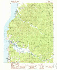
1985 Map of Neskowin
USGS Topo · Published 1985About this map
Neskowin serves as a focal point along the Oregon coast in this mid-1980s record, where the Pacific Ocean meets the dramatic landforms of Cascade Head and Proposal Rock. The landscape is defined by the intersection of intensive conservation and rural settlement, encompassing the Cascade Head Experimental Forest and the Cascade Head Scenic Research Area. These federal designations protect a complex drainage system where the Salmon River and Neskowin Creek flow toward the sea.
Find a feature on this map
59 named features on this map. Tap any name to fly to it.
Don’t see what you’re looking for? This feature index may not catch every label — zoom into the map to look around manually.
Map Details
Editions of this 1985 Neskowin Map
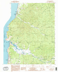
2 editions found
Other maps of this area

1941 · Nestucca Bay
USGS Topo · 1:62,500

1941 · Cape Foulweather
USGS Topo · 1:62,500

1942 · Euchre Mtn
USGS Topo · 1:62,500

1942 · Nestucca Bay
USGS Topo · 1:62,500

1943 · Euchre Mtn
USGS Topo · 1:62,500

1944 · Cape Foulweather
USGS Topo · 1:62,500

1948 · Vancouver
USGS Topo · 1:250,000

1950 · Vancouver
USGS Topo · 1:250,000

1950 · Vancouver
USGS Topo · 1:250,000

1953 · Salem
USGS Topo · 1:250,000