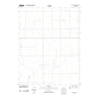
2009 Map of Ness City NE
USGS Topo · Published 2009About this map
Walnut Creek meanders across this rural section of Ness County, carving a distinct hydrological pattern through a landscape defined by the precision of the Public Land Survey System. The map reveals the late-20th and early-21st-century agricultural grid, where a network of numbered and lettered routes like S 75 Rd and E 100 Rd divide the territory into regular sections. For local historians and genealogists, the placement of Fairview Cemetery on the western edge of the quadrangle provides a vital geographic anchor for family research in this sparsely populated region. Other seasonal drainages, including Long Branch and Bazine Dry Creek, illustrate the natural drainage system that dictates the placement of farmsteads and rural infrastructure away from the floodplains.
Find a feature on this map
13 named features on this map. Tap any name to fly to it.
Don’t see what you’re looking for? This feature index may not catch every label — zoom into the map to look around manually.
Map Details
Editions of this 2009 Ness City NE Map
This is the sole edition of this map. No revisions or reprints were ever made.
Other maps of this area

1892 · Ness
USGS Topo · 1:125,000

1893 · Ellis
USGS Topo · 1:125,000

1894 · Ness
USGS Topo · 1:125,000

1955 · Great Bend
USGS Topo · 1:250,000

1957 · Great Bend
USGS Topo · 1:250,000

1958 · Great Bend
USGS Topo · 1:250,000

1966 · Ransom SE
USGS Topo · 1:24,000

1966 · Mc Cracken SW
USGS Topo · 1:24,000

1966 · Ness City
USGS Topo · 1:24,000

1966 · Ness City NE
USGS Topo · 1:24,000