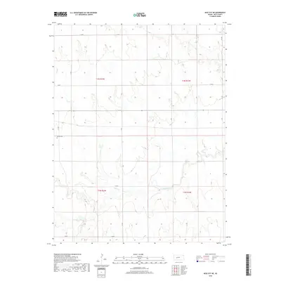
2018 Map of Ness City NE
USGS Topo · Published 2018About this map
Walnut Creek and its tributaries carve a distinct drainage pattern across this Western Kansas landscape in Ness County. The area is defined by the rectilinear grid of the Public Land Survey System, with section lines marked by rural routes like E 160 Road and N AA Road. This agricultural expanse preserves local heritage at the Fairview Cemetery, located in the western portion of the quadrangle near S TS Road. The map documents the hydrology of the High Plains, featuring Long Branch in the northwest and Bazine Dry Creek in the northeast, illustrating how water access shaped the division of these townships during the late twentieth and early twenty-first centuries.
Find a feature on this map
21 named features on this map. Tap any name to fly to it.
Don’t see what you’re looking for? This feature index may not catch every label — zoom into the map to look around manually.
Map Details
Editions of this 2018 Ness City NE Map
This is the sole edition of this map. No revisions or reprints were ever made.
Other maps of this area

1892 · Ness
USGS Topo · 1:125,000

1893 · Ellis
USGS Topo · 1:125,000

1894 · Ness
USGS Topo · 1:125,000

1955 · Great Bend
USGS Topo · 1:250,000

1957 · Great Bend
USGS Topo · 1:250,000

1958 · Great Bend
USGS Topo · 1:250,000

1966 · Ransom SE
USGS Topo · 1:24,000

1966 · Mc Cracken SW
USGS Topo · 1:24,000

1966 · Ness City
USGS Topo · 1:24,000

1966 · Ness City NE
USGS Topo · 1:24,000