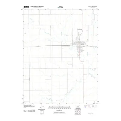
2009 Map of Ness City
USGS Topo · Published 2009About this map
Ness City serves as the central hub of this High Plains landscape, situated at the confluence of several local waterways. The town's grid is anchored by Walnut St and S Court Ave, showing the organized development of this Western Kansas seat. The surrounding geography is defined by the winding paths of the North Fork Walnut Creek and South Fork Walnut Creek, which carve subtle drainage patterns across the prairie. Aviation footprints are notable here, with both Amy Airport to the west and the Ness City Municipal Airport to the north serving the rural community. For those tracing family histories, the map identifies local burial grounds including Sacred Heart Cemetery near the city center and the more outlying Chenoworth Cemetery to the east, providing specific locations for genealogical research.
Find a feature on this map
21 named features on this map. Tap any name to fly to it.
Don’t see what you’re looking for? This feature index may not catch every label — zoom into the map to look around manually.
Map Details
Editions of this 2009 Ness City Map
This is the sole edition of this map. No revisions or reprints were ever made.
Other maps of this area

1892 · Ness
USGS Topo · 1:125,000

1893 · Ellis
USGS Topo · 1:125,000

1894 · Ness
USGS Topo · 1:125,000

1955 · Great Bend
USGS Topo · 1:250,000

1955 · Scott City
USGS Topo · 1:250,000

1957 · Great Bend
USGS Topo · 1:250,000

1958 · Great Bend
USGS Topo · 1:250,000

1958 · Scott City
USGS Topo · 1:250,000

1966 · Ransom SE
USGS Topo · 1:24,000

1966 · Ness City
USGS Topo · 1:24,000