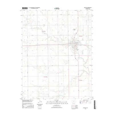
2015 Map of Ness City
USGS Topo · Published 2015About this map
Ness City serves as the focal point of this West Central Kansas landscape, where the street grid of the county seat meets the expansive drainage basins of the Walnut Creek forks. The city's geography is defined by its position between the N Fork Walnut Cr and the S Fork Walnut Cr, with local landmarks like the Ness City Municipal Airport and the Sacred Heart Cem situated on the outskirts. The mapping reveals a rural infrastructure organized around sectional roads such as W 160 Rd and W 120 Rd, reflecting the late-era agricultural layout of the High Plains.
Find a feature on this map
26 named features on this map. Tap any name to fly to it.
Don’t see what you’re looking for? This feature index may not catch every label — zoom into the map to look around manually.
Map Details
Editions of this 2015 Ness City Map
This is the sole edition of this map. No revisions or reprints were ever made.
Other maps of this area

1892 · Ness
USGS Topo · 1:125,000

1893 · Ellis
USGS Topo · 1:125,000

1894 · Ness
USGS Topo · 1:125,000

1955 · Great Bend
USGS Topo · 1:250,000

1955 · Scott City
USGS Topo · 1:250,000

1957 · Great Bend
USGS Topo · 1:250,000

1958 · Great Bend
USGS Topo · 1:250,000

1958 · Scott City
USGS Topo · 1:250,000

1966 · Ransom SE
USGS Topo · 1:24,000

1966 · Ness City
USGS Topo · 1:24,000