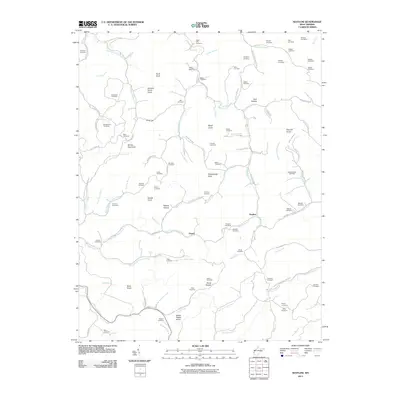
2011 Map of Nestlow
USGS Topo · Published 2011About this map
Girard and Nestlow sit at the center of a landscape defined by deep hollows and high knobs in this southwestern West Virginia survey. The map reveals a high density of family burial grounds scattered throughout the ridges, including Tabor Cemetery, Skeens Cemetery, and the Crockett Cemetery in the northwestern corner. The terrain is characterized by descriptive local names like Sweet Potato Knob, Buzzard Roost Knob, and Turkeycamp Knob, which rise above winding waterways such as Millers Fork and Left Fork Camp Creek.
Find a feature on this map
112 named features on this map. Tap any name to fly to it.
Don’t see what you’re looking for? This feature index may not catch every label — zoom into the map to look around manually.
Map Details
Editions of this 2011 Nestlow Map
This is the sole edition of this map. No revisions or reprints were ever made.
Other maps of this area

1892 · Huntington
USGS Topo · 1:125,000

1898 · Huntington
USGS Topo · 1:125,000

1901 · Guyandot
USGS Topo · 1:62,500

1902 · Guyandot
USGS Topo · 1:62,500

1902 · Milton
USGS Topo · 1:62,500

1902 · Midkiff
USGS Topo · 1:62,500

1907 · Midkiff
USGS Topo · 1:62,500

1909 · Wayne
USGS Topo · 1:62,500

1909 · Midkiff
USGS Topo · 1:62,500

1931 · Wayne
USGS Topo · 1:62,500