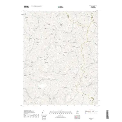
2019 Map of Nestlow
USGS Topo · Published 2019About this map
Beech Fork and its many winding tributaries define the deeply dissected landscape of Wayne County in the late 2010s. The settlement of Gilkerson sits at the junction of several hollows, while Girard and Nestlow are situated further south along the creek's main stem. The area's family history is etched into the terrain through a dense concentration of small upland burial grounds, including the Cedar Cliff Cem, Skeens Cem, and Tallclay Cem, many located on the high ridges overlooking the water.
Find a feature on this map
140 named features on this map. Tap any name to fly to it.
Don’t see what you’re looking for? This feature index may not catch every label — zoom into the map to look around manually.
Map Details
Editions of this 2019 Nestlow Map
This is the sole edition of this map. No revisions or reprints were ever made.
Other maps of this area

1892 · Huntington
USGS Topo · 1:125,000

1898 · Huntington
USGS Topo · 1:125,000

1901 · Guyandot
USGS Topo · 1:62,500

1902 · Guyandot
USGS Topo · 1:62,500

1902 · Milton
USGS Topo · 1:62,500

1902 · Midkiff
USGS Topo · 1:62,500

1907 · Midkiff
USGS Topo · 1:62,500

1909 · Wayne
USGS Topo · 1:62,500

1909 · Midkiff
USGS Topo · 1:62,500

1931 · Wayne
USGS Topo · 1:62,500