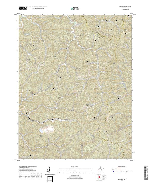
2023 Map of Nestlow
USGS Topo · Published 2023About this map
Nestlow and the surrounding drainages of Millers Fork and Raccoon Creek define this rural landscape on the border of Cabell and Lincoln counties. The terrain is deeply carved into numerous named hollows, including Drenner Hollow, Asbury Hollow, and Murder Hollow, which have historically dictated the placement of homesteads and small family burial grounds. Dozens of these cemeteries, such as Crockett Cem, Sanson Cem, and Skeens Cem, are scattered across the ridges and along the creeks, providing a valuable record of the area's ancestral families.
Find a feature on this map
134 named features on this map. Tap any name to fly to it.
Don’t see what you’re looking for? This feature index may not catch every label — zoom into the map to look around manually.
Map Details
Editions of this 2023 Nestlow Map
This is the sole edition of this map. No revisions or reprints were ever made.
Other maps of this area

1892 · Huntington
USGS Topo · 1:125,000

1898 · Huntington
USGS Topo · 1:125,000

1901 · Guyandot
USGS Topo · 1:62,500

1902 · Guyandot
USGS Topo · 1:62,500

1902 · Milton
USGS Topo · 1:62,500

1902 · Midkiff
USGS Topo · 1:62,500

1907 · Midkiff
USGS Topo · 1:62,500

1909 · Wayne
USGS Topo · 1:62,500

1909 · Midkiff
USGS Topo · 1:62,500

1931 · Wayne
USGS Topo · 1:62,500