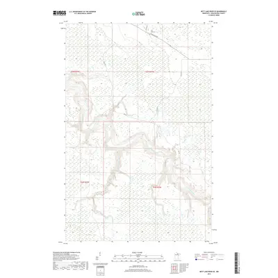
2019 Map of Nett Lake River SE
USGS Topo · Published 2019About this map
The Little Fork River carves a deep, winding path through the heavy wetlands of Koochiching County, its sharp oxbows defining the local topography. This 2019 survey captures the quiet, sparsely settled character of the northern Minnesota woods, where transport is dictated by limited roads like the Tote Rd and Resvn Hwy 2. The presence of the Bois Forte Cem in the northeast corner, situated along Industrial Ave, points to the long-standing cultural and ancestral ties to this landscape. The terrain remains largely dominated by hydrology, with Gardner Brook feeding into the river system through dense forest. The road network, including the O'Leary Trl, suggests a region primarily used for timber management and traditional local access rather than intensive development.
Find a feature on this map
12 named features on this map. Tap any name to fly to it.
Don’t see what you’re looking for? This feature index may not catch every label — zoom into the map to look around manually.
Map Details
Editions of this 2019 Nett Lake River SE Map
This is the sole edition of this map. No revisions or reprints were ever made.
Other maps of this area

1954 · Hibbing
USGS Topo · 1:250,000

1954 · International Falls
USGS Topo · 1:250,000

1957 · Hibbing
USGS Topo · 1:250,000

1957 · International Falls
USGS Topo · 1:250,000

1958 · International Falls
USGS Topo · 1:250,000

1958 · Hibbing
USGS Topo · 1:250,000

1964 · Hibbing
USGS Topo · 1:250,000

1970 · Rauch
USGS Topo · 1:24,000

1970 · Nett Lake River SE
USGS Topo · 1:24,000
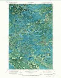
1970 · Nett Lake River East
USGS Topo · 1:24,000