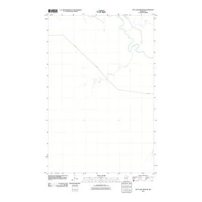
2010 Map of Nett Lake River SW
USGS Topo · Published 2010About this map
The Little Fork River meanders through the northeastern corner of this Northern Minnesota landscape, which is defined by its sparse road network and significant watercourses. This 2010 survey illustrates a primarily uninhabited region where the Rapid River and its various tributaries cut through the low-lying terrain. Human presence is limited to long, straight passages such as Nelson Rd, which bisects the quadrangle diagonally, and River Rd following the northern edge. The mapping of Section 10 Rd and these other local routes suggests a landscape managed for timber or conservation, providing a clear record of the area's infrastructure before any modern shifts in land use or road maintenance. For those studying the hydrology of the Border Country, the detailed drainage patterns of the Rapid River basin are particularly well-documented here.
Find a feature on this map
5 named features on this map. Tap any name to fly to it.
Don’t see what you’re looking for? This feature index may not catch every label — zoom into the map to look around manually.
Map Details
Editions of this 2010 Nett Lake River SW Map
This is the sole edition of this map. No revisions or reprints were ever made.
Other maps of this area

1919 · M
USGS Topo · 1:62,500

1954 · Hibbing
USGS Topo · 1:250,000

1954 · International Falls
USGS Topo · 1:250,000

1957 · Hibbing
USGS Topo · 1:250,000

1957 · International Falls
USGS Topo · 1:250,000

1958 · International Falls
USGS Topo · 1:250,000

1958 · Hibbing
USGS Topo · 1:250,000

1964 · Hibbing
USGS Topo · 1:250,000

1970 · Johnson Landing SE
USGS Topo · 1:24,000

1970 · Nett Lake River SE
USGS Topo · 1:24,000