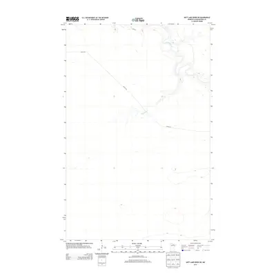
2013 Map of Nett Lake River SW
USGS Topo · Published 2013About this map
Little Fork River winds through the northern portion of this Koochiching County terrain, joined from the south by the Rapid River. The landscape is defined by the convergence of these waterways amidst a sparse network of local roads. In this remote part of northern Minnesota during the early 21st century, transportation is limited to routes like Nelson Rd and River Rd, which provide access through the dense wetland and forest environment. The map highlights the natural hydrology of the region, illustrating the intricate meanders and drainage patterns that characterize the area near the Bois Forte Reservation. This survey captures a moment of topographical stability in a region where the rivers dictate the layout of the few established thoroughfares.
Find a feature on this map
4 named features on this map. Tap any name to fly to it.
Don’t see what you’re looking for? This feature index may not catch every label — zoom into the map to look around manually.
Map Details
Editions of this 2013 Nett Lake River SW Map
This is the sole edition of this map. No revisions or reprints were ever made.
Other maps of this area

1919 · M
USGS Topo · 1:62,500

1954 · Hibbing
USGS Topo · 1:250,000

1954 · International Falls
USGS Topo · 1:250,000

1957 · Hibbing
USGS Topo · 1:250,000

1957 · International Falls
USGS Topo · 1:250,000

1958 · International Falls
USGS Topo · 1:250,000

1958 · Hibbing
USGS Topo · 1:250,000

1964 · Hibbing
USGS Topo · 1:250,000

1970 · Johnson Landing SE
USGS Topo · 1:24,000

1970 · Nett Lake River SE
USGS Topo · 1:24,000