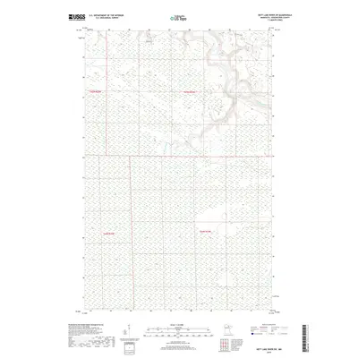
2019 Map of Nett Lake River SW
USGS Topo · Published 2019About this map
The Little Fork River meanders through the northeastern reaches of this landscape, joined by the winding course of the Rapid River in the central portion of the territory. This map documents a largely undeveloped corridor of Koochiching County, defined by the intricate hydrology of Northern Minnesota's wetland systems. The sparse human footprint is primarily marked by River Rd and the systematic grid of the Public Land Survey System, including sections within t65n r25w, t64n r25w, and t65n r24w. The fine contour lines reveal a subtle terrain where drainage patterns and river bends dictate the character of the land, providing a specialized look at the region's wilderness and waterways as they remained in the early twenty-first century.
Find a feature on this map
7 named features on this map. Tap any name to fly to it.
Don’t see what you’re looking for? This feature index may not catch every label — zoom into the map to look around manually.
Map Details
Editions of this 2019 Nett Lake River SW Map
This is the sole edition of this map. No revisions or reprints were ever made.
Other maps of this area

1919 · M
USGS Topo · 1:62,500

1954 · Hibbing
USGS Topo · 1:250,000

1954 · International Falls
USGS Topo · 1:250,000

1957 · Hibbing
USGS Topo · 1:250,000

1957 · International Falls
USGS Topo · 1:250,000

1958 · International Falls
USGS Topo · 1:250,000

1958 · Hibbing
USGS Topo · 1:250,000

1964 · Hibbing
USGS Topo · 1:250,000

1970 · Johnson Landing SE
USGS Topo · 1:24,000

1970 · Nett Lake River SE
USGS Topo · 1:24,000