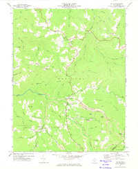
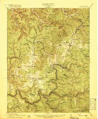
1972 Map of Nettie
USGS Topo · Published 1974About this map
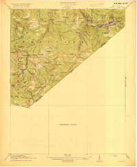
The community of Nettie serves as a central hub in this Nicholas County survey, surrounded by high ridges and numerous small coal mining operations. The landscape is defined by the sharp relief of Kentucky Ridge and Grassy Ridge, where the terrain transitions from agricultural clearings to the dense woodlands of the Monongahela National Forest. Resource extraction is evident throughout the area, with several Strip Mines and isolated mines dotting the hillsides near Leivasy and Grassy Falls.
Find a feature on this map
78 named features on this map. Tap any name to fly to it.
Don’t see what you’re looking for? This feature index may not catch every label — zoom into the map to look around manually.
Map Details
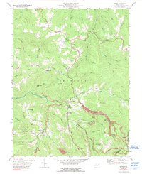
Editions of this 1972 Nettie Map
2 editions found
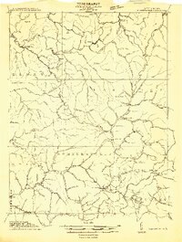
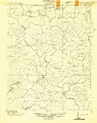
Other maps of this area

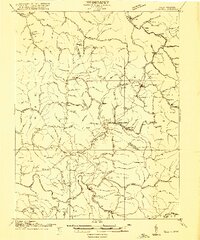
1889 · Nicholas
USGS Topo · 1:125,000

1891 · Nicholas
USGS Topo · 1:125,000

1901 · Nicholas
USGS Topo · 1:125,000
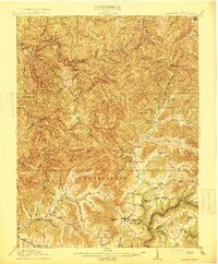
1913 · Summersville
USGS Topo · 1:48,000
1914 · Winona
USGS Topo · 1:48,000
1915 · Cowen
USGS Topo · 1:48,000
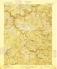
1915 · Summersville
USGS Topo · 1:62,500
1916 · Winona
USGS Topo · 1:62,500
1917 · Cowen
USGS Topo · 1:62,500
1918 · Richwood
USGS Topo · 1:62,500